Bowscale Tarn via Bowscale Fell
A steep initial ascent gives way to easier running with panoramic views past Skiddaw - right out to sea on a clear day.
It took me nearly nine months since we moved to the Lake District to explore routes closer to home. My brain gets in the way a bit at times and I don't want a walk to be a let-down, but they never really are and it turned out this quieter part of the Lakes comes with its own charms as well as - on this occasion - no road noise or other people at all for about 90% of the route, just me and nature which is perfect for unwinding.
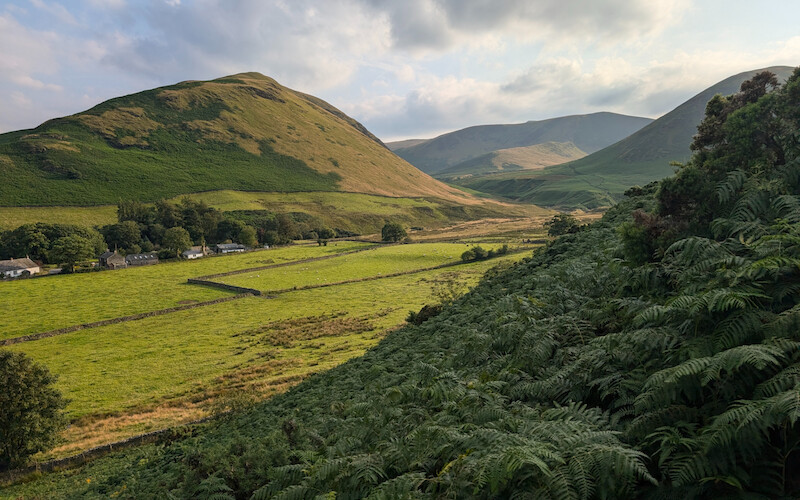
This route from Mungrisedale starts with some roadside parking at a wide junction, however there is parking further into the village itself; either by the roadside, near the old phone box or at the village hall - just carry some change in case you can't get parked up for free.
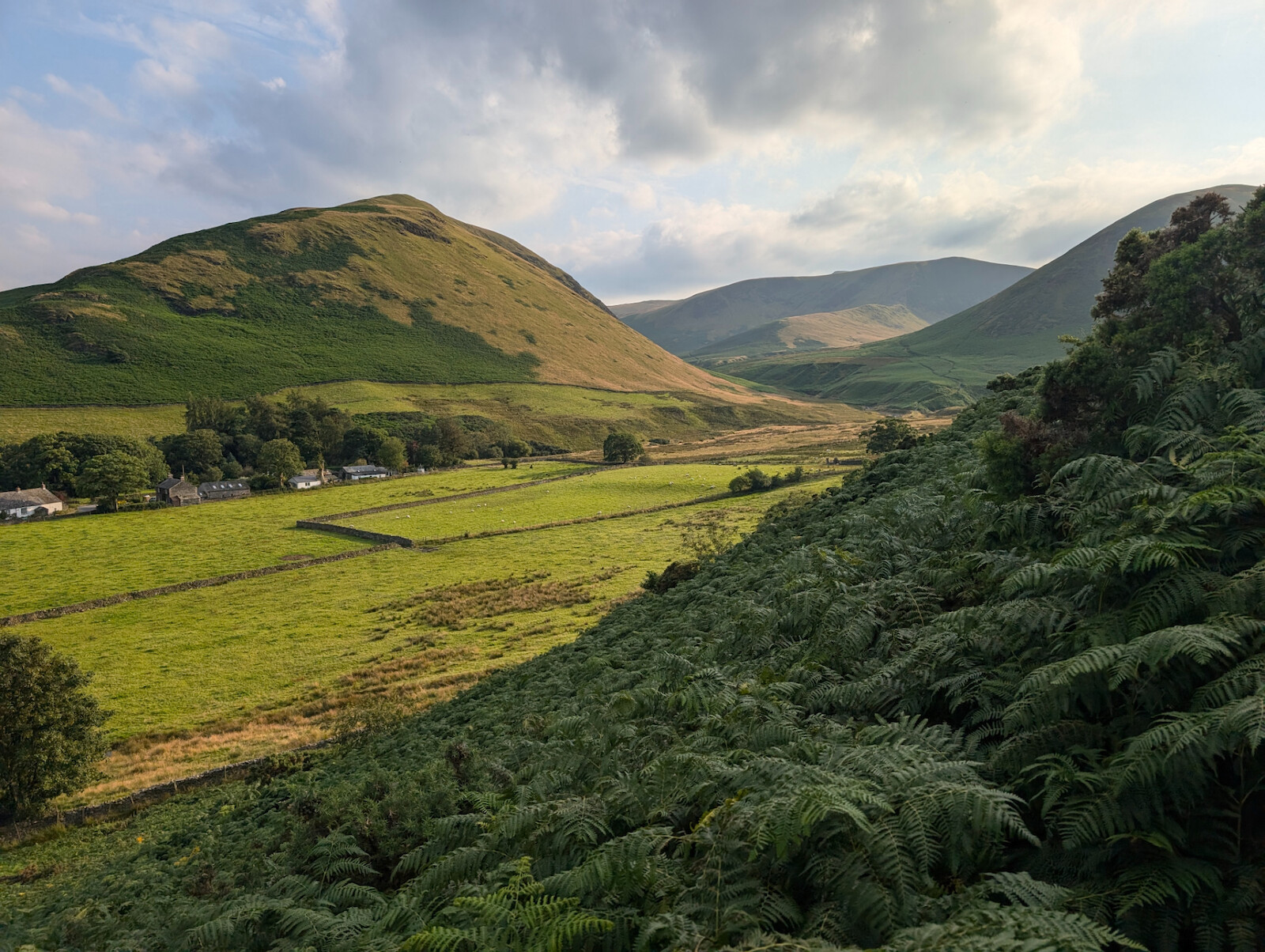
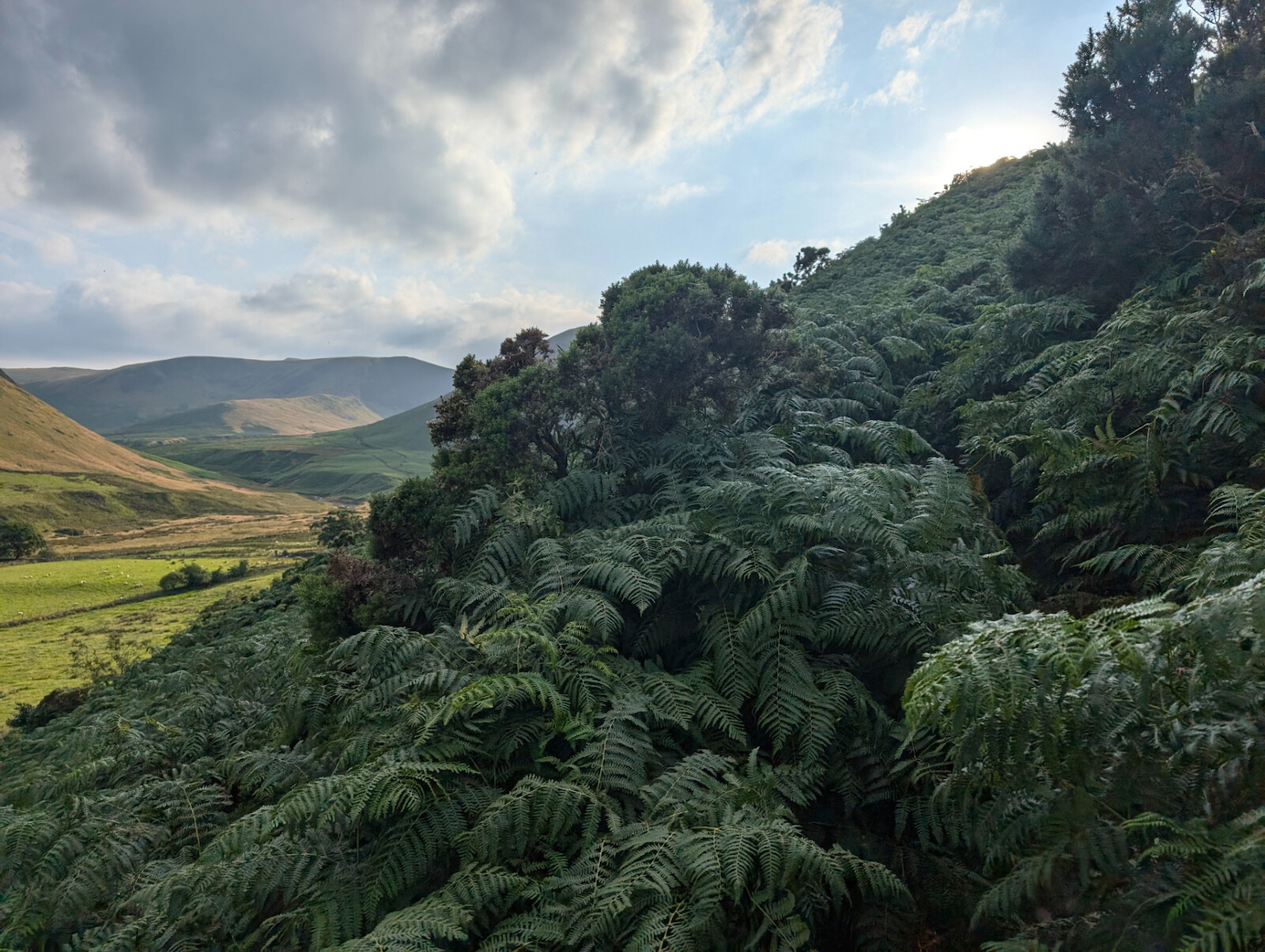
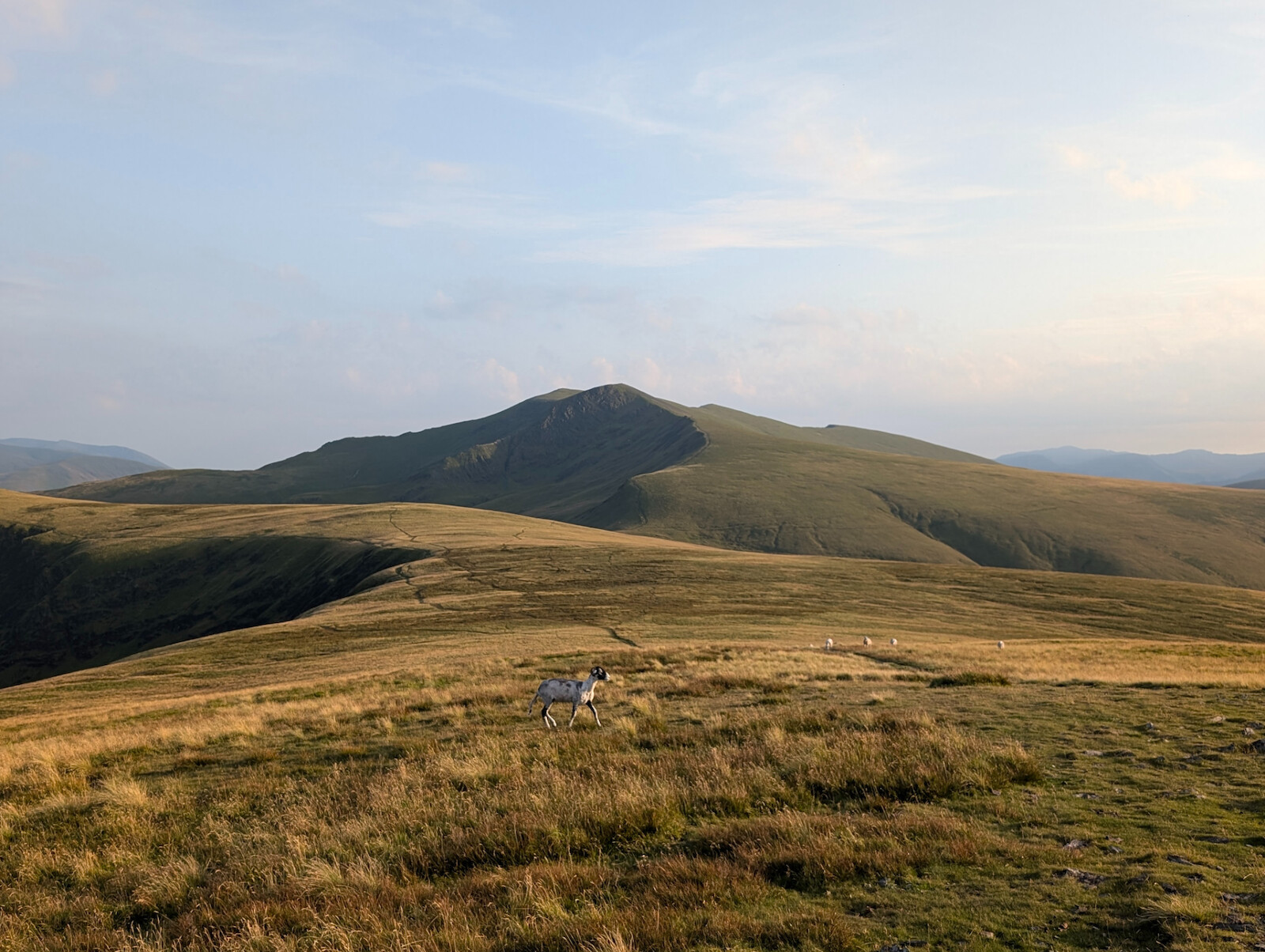
From here you cross the road heading northwest then almost immediately take a track southwest which you follow for about 75 metres before turning right and heading up the steep hill to the north. It is steep, but my logic sometimes is to get the elevation in early for a more enjoyable run along the ridgeline. In July the bracken gets pretty high - over 4 foot in places - but it's a well-used track so no chance of getting lost. You also soon start to be rewarded by views out towards Souther Fell and Bannerdale Crags.
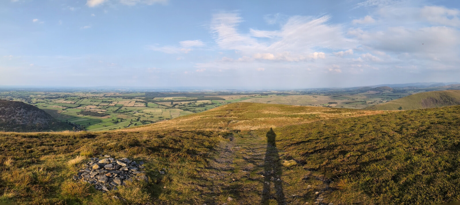
Once you emerge from the bracken, the ground becomes a bit spongy but the angle also becomes gentler and runnable. There are a few cairns marking the route and the path starts to head southwest towards Bowscale Fell summit.
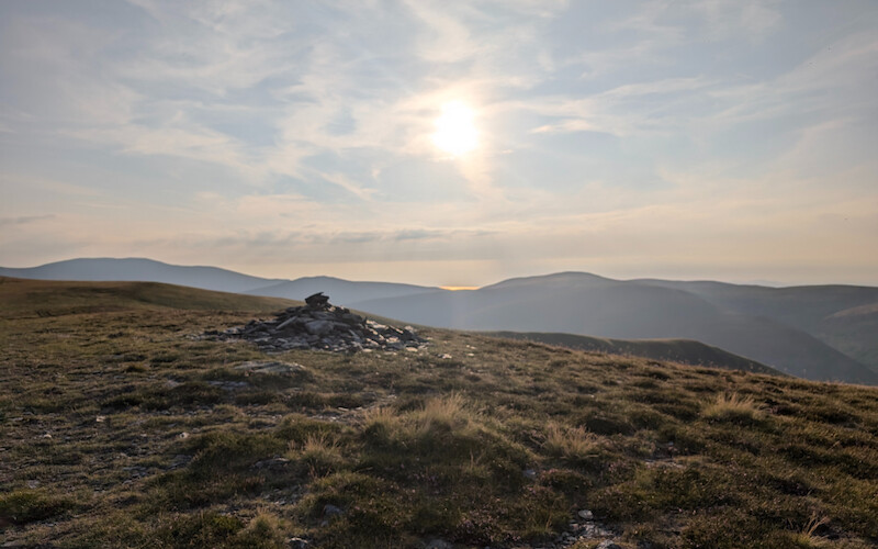
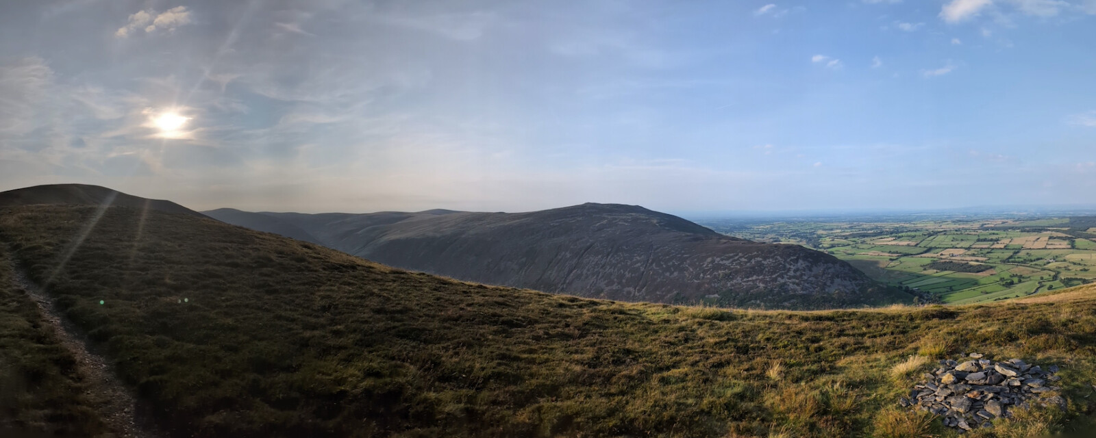
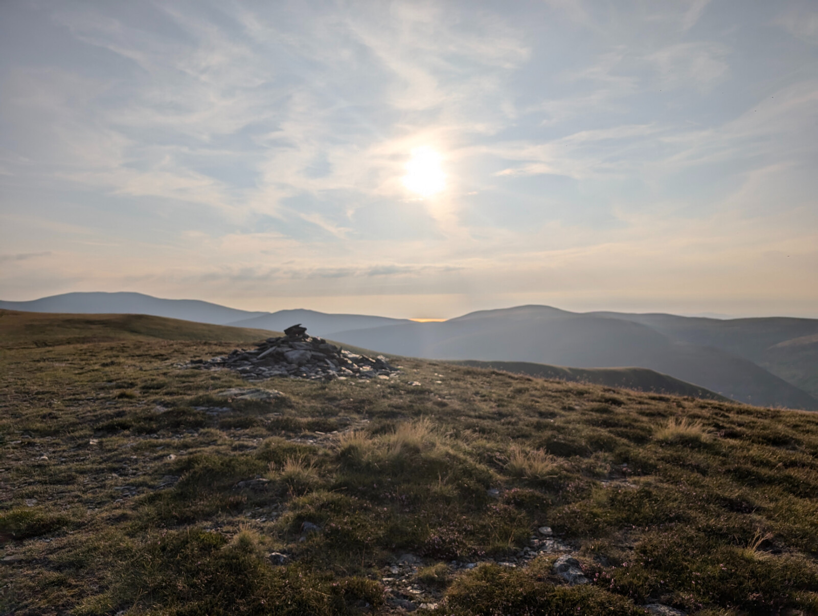
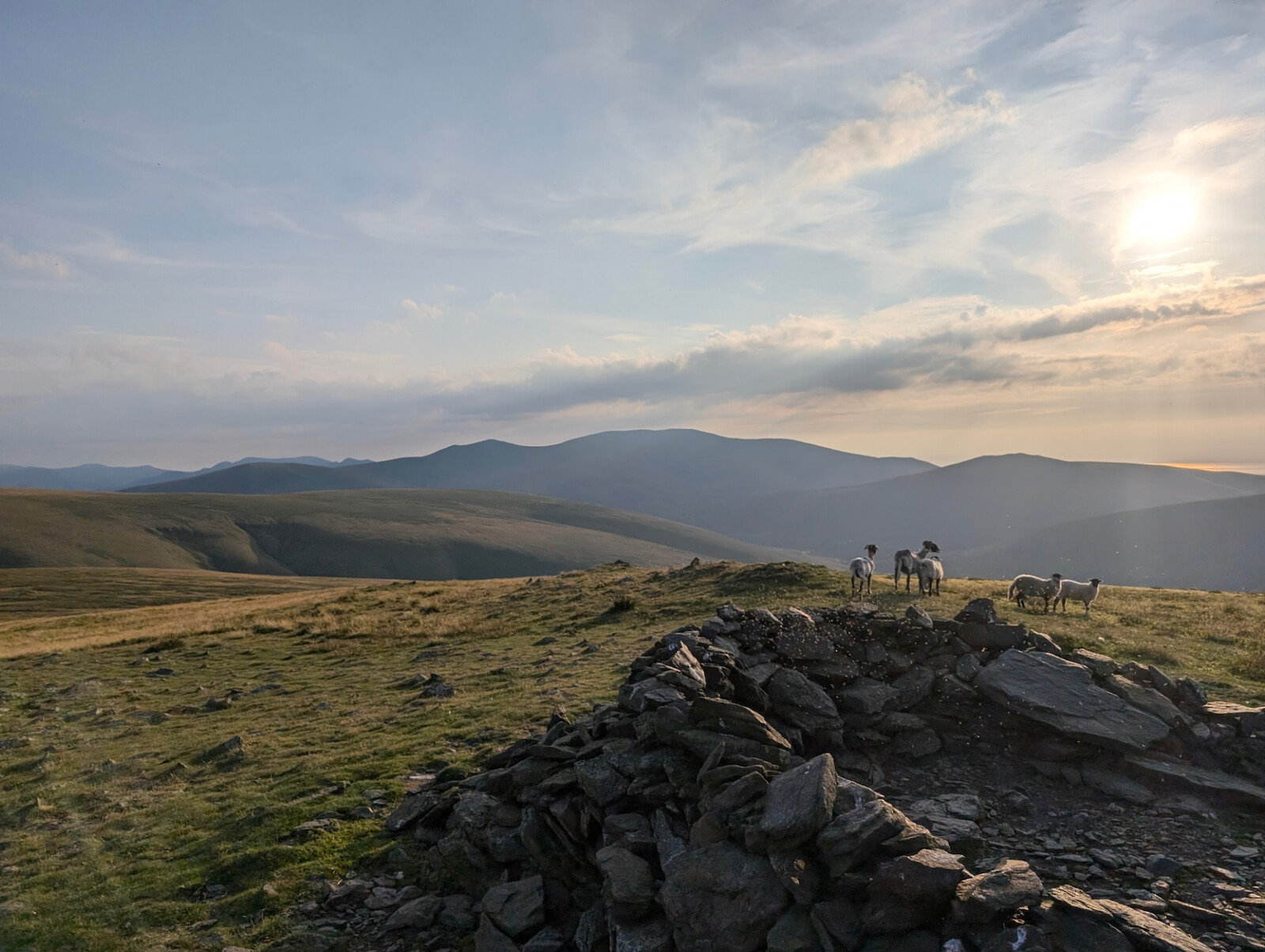
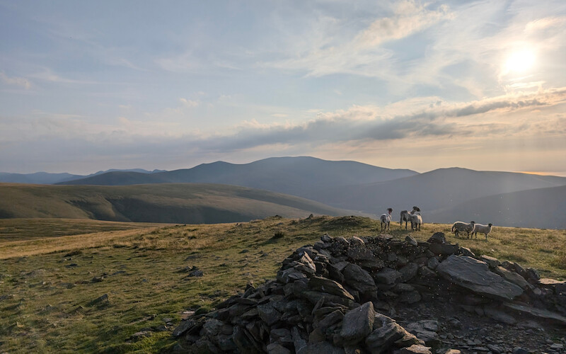
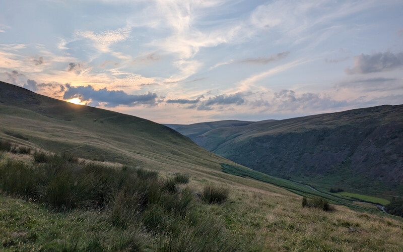
There is a low stone wall which acts as a shelter at the summit in bad weather - whilst it's likely for the sheep it would also be handy in adverse weather for anyone as it's very exposed up here. Sadly I'd gone up when the flying ants decided to emerge so didn't hang around long, however there were great views past Skiddaw with the sun reflecting off the sea out west towards Workington.
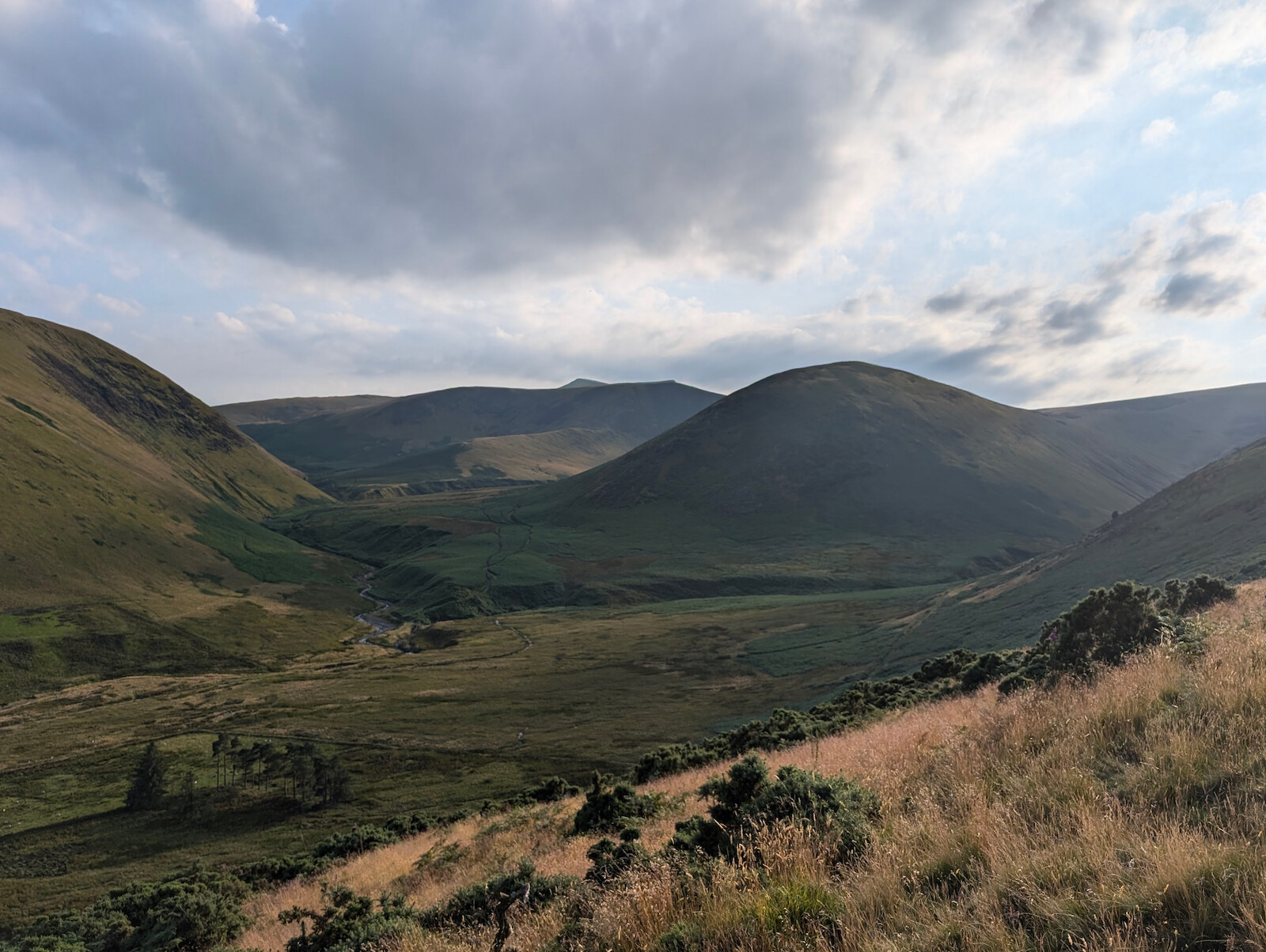
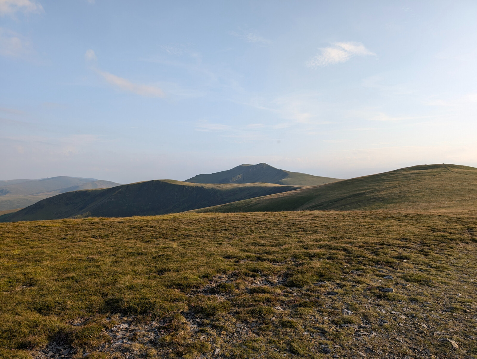
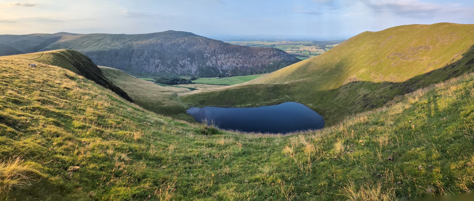
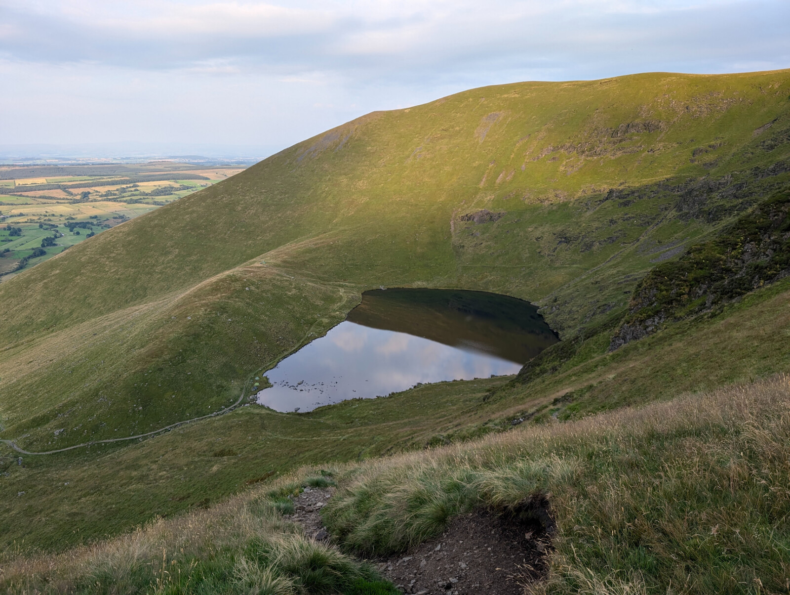
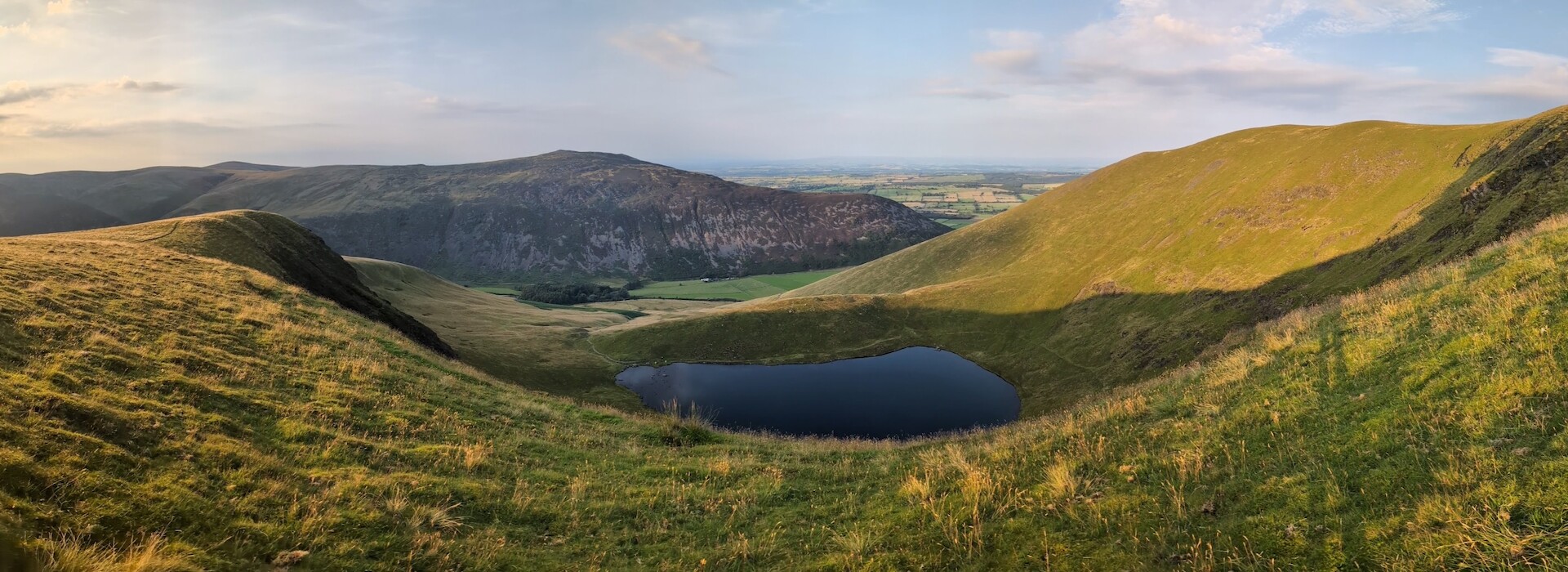
From the summit, head north and you'll soon see Tarn Crags come into view closely followed by views down to the tarn on your right. It can be tricky working out which track to take down - I went a bit too far and had to regain some height, which my legs weren't really up for, so I've adjusted the route so that you hopefully won't go lower than you need to. The trick is that the various tracks down to the tarn are very narrow "blink and you'll miss it" affairs so it's easy to get carried away on the downhill and go to far.
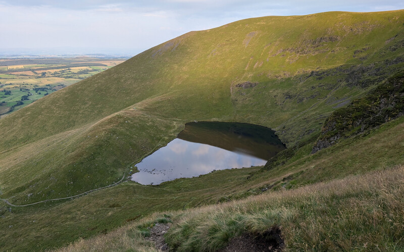
Once you're level with the tarn, the track becomes wider and stonier and turns t follow the north side of the tarn. When I was there there were a group camping by the lake and, past the tarn where it turns again up and over the rise, a more experienced group of ladies who decided they didn't want to be that close to the midges.
The path back along the hill down to the road is stony but wide and runnable so enjoy yourself here and on the short road stretch back to the start.
Just doing this write-up makes me want to go up it again, although I may wait until Spring for the nice sunsets and pick an easier ascent until I'm fitter to do the steeper sections with less huffing and puffing 😆