High Rigg from St John's in the Vale
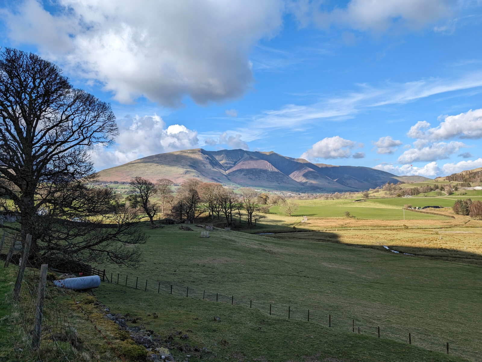
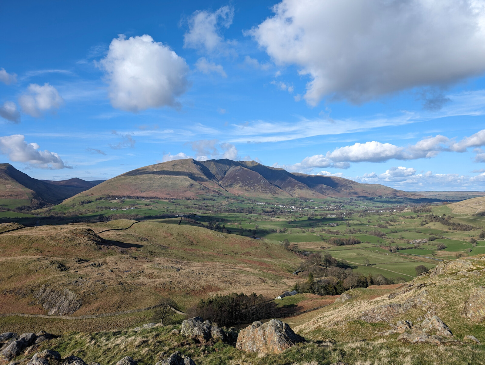
Starting in the scenic St John's in the Vale, this route has beautiful views towards Skiddaw and Blencathra to the north as well as Thirlmere to the south.
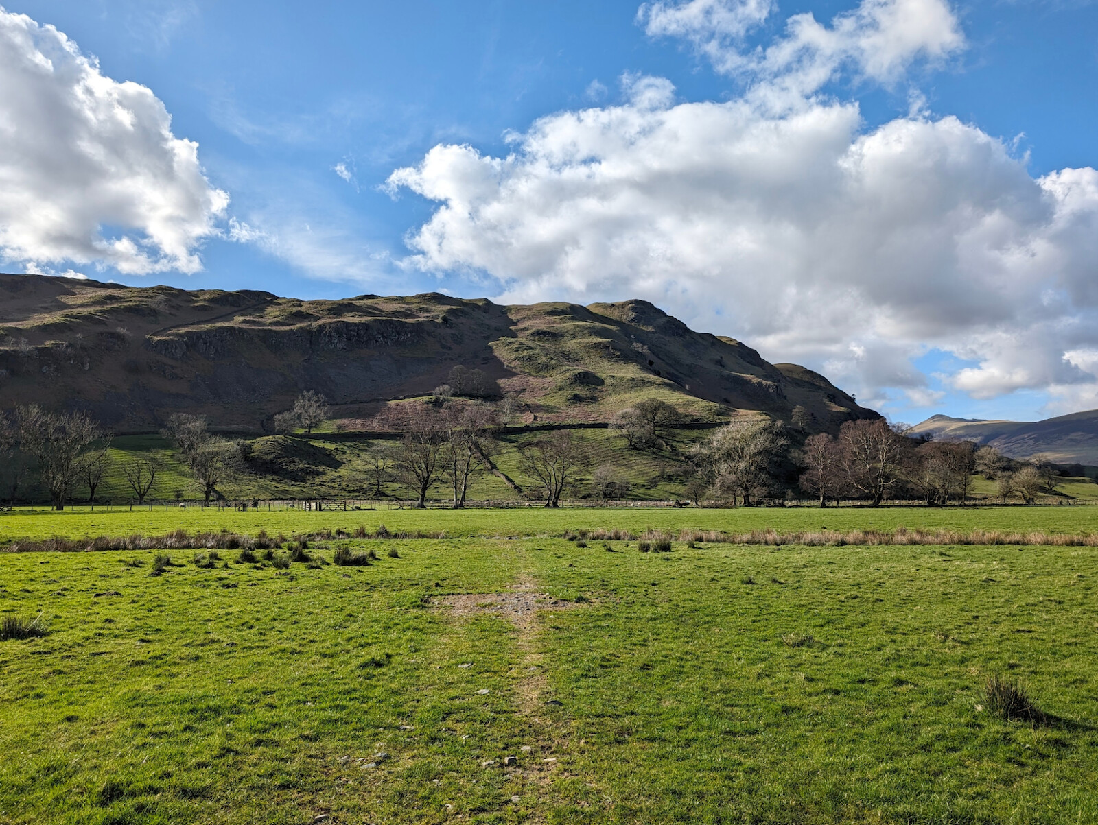
This route is relatively easy, beginning from a parking spot beside the road and heading out across farmland before reaching the path at the base of the High Rigg itself. The ground can be quite boggy across the field - the worst bits are avoidable although on a trail run it doesn't bother me too much.
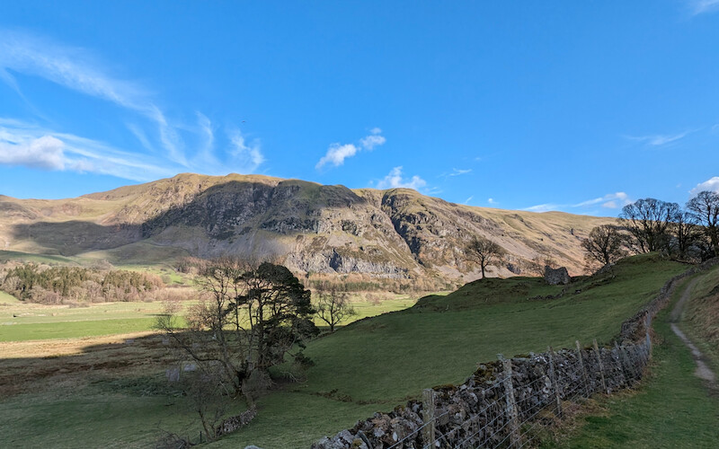
Once you join up with the hard path at the base of the hills you head north, gaining some altitude as well as views towards Blencathra to the northeast and Great Dodd to the southeast.
As you reach to the northern end of the route, you'll start to gain some elevation as it rounds the bend to the west and eventually joins a road. You pass St John's Church quickly followed by the Youth Centre on your left. Continue up the road a little way and turn left when you pass the trees and see a bench - this route up is easiest on the legs.
Once you reach the brow, High Rigg will come into view to your left, however what you'll notice is that there are many mini-summits here - one to the right - and paths all over the top of the hill where people like me have gone between them to see which one has the best view. I tried them all and wasn't disappointed - once you're up there you may as well!
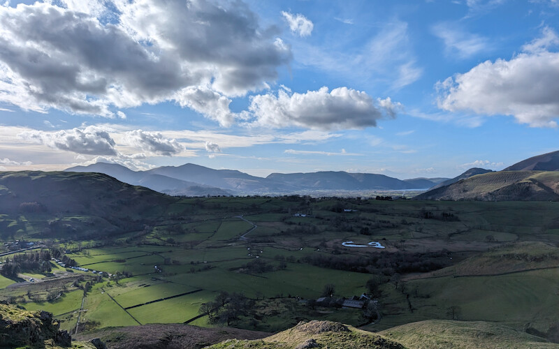
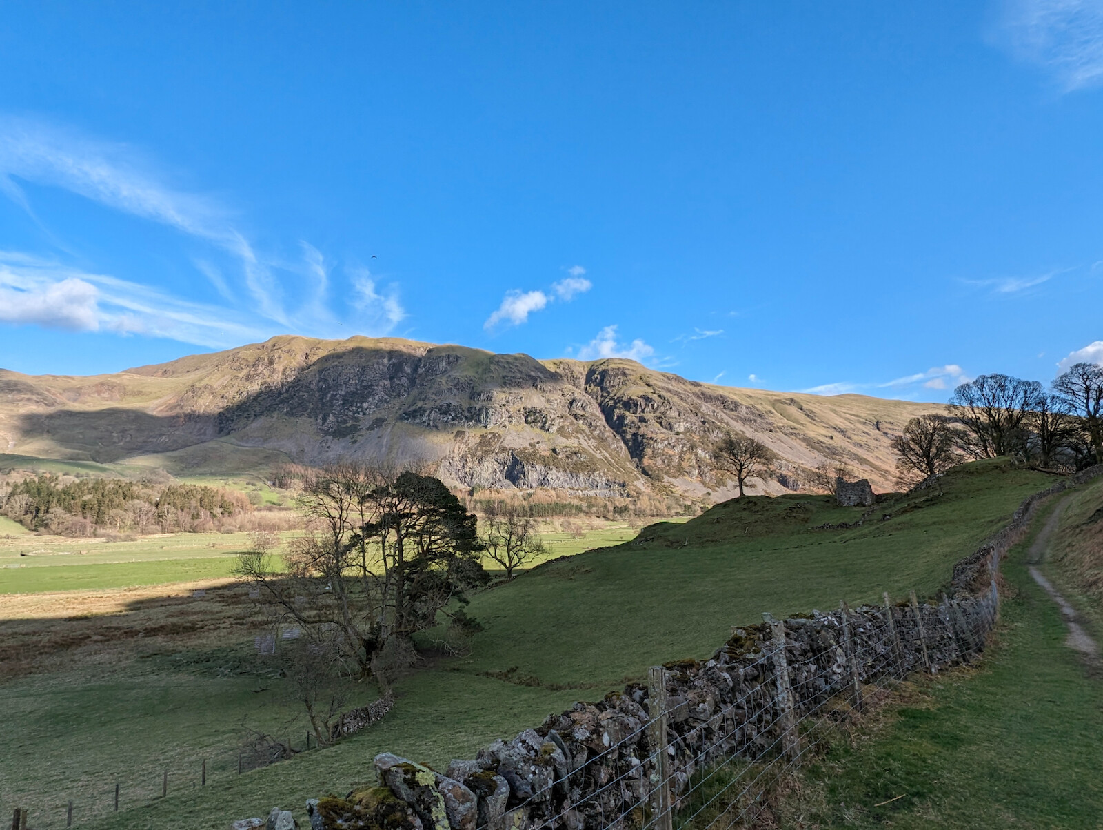
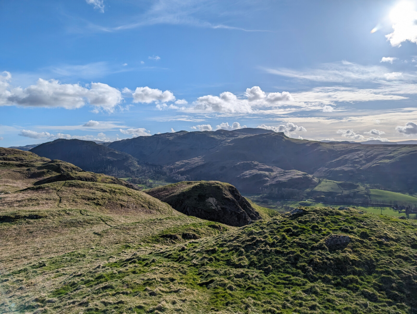
High Rigg has two summits depending which map you look at - Ordnance Survey suggests the one halfway along the hilltop heading south is the official one. The views are amazing the whole way along the ridge and the landscape here has plenty of character with undulating terrain and rocky outcrops. It's mostly grassy underfoot so makes for an easy walk/run.
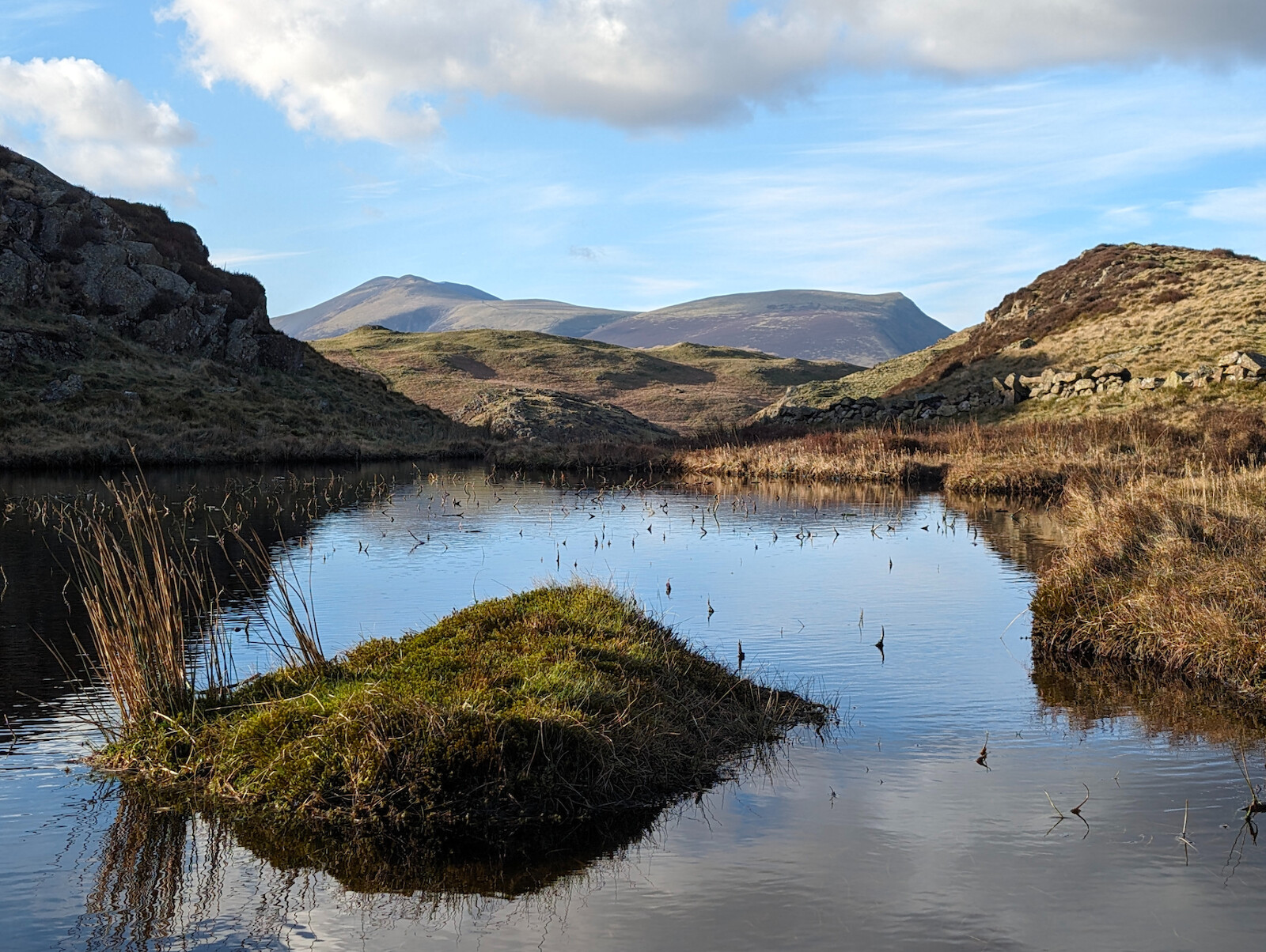
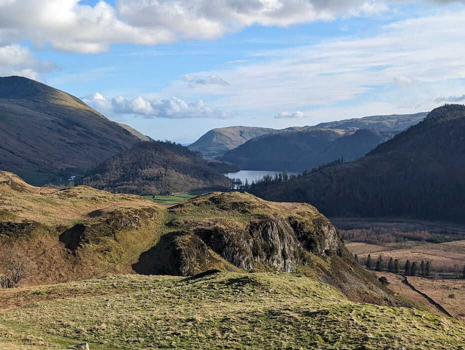
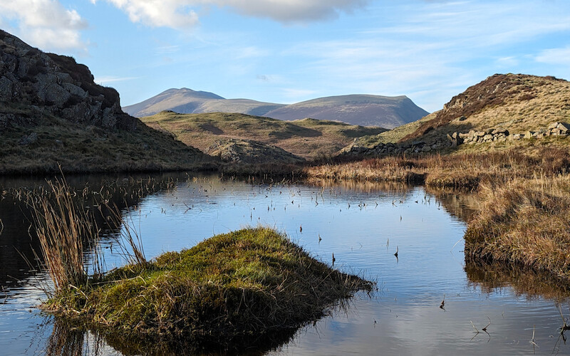
As you head further south you reach a small tarn and Thirlmere reservoir also comes into view - sparkling in the sunlight if you're lucky!
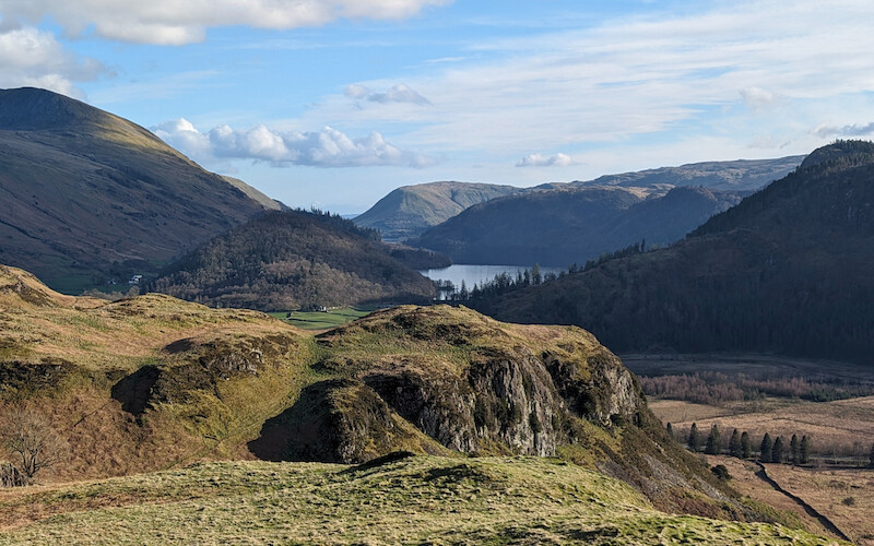
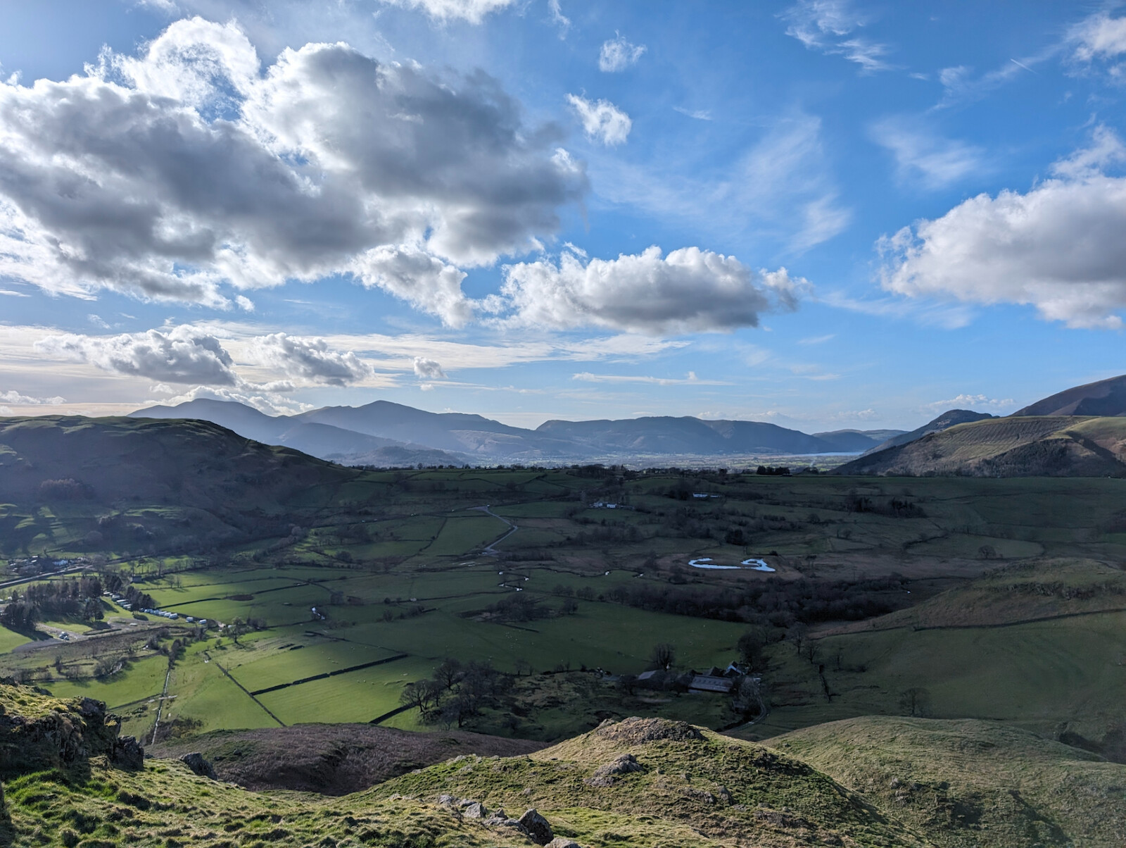
Don't forget to take a look behind you when you're alongside the tarn as Skiddaw and Lonscale Fell become framed by the scenery for another good photo opportunity - I crouched down and messed around a bit to get it looking alright on my phone camera but I think it looks alright.
The only mildly technical part of this route occurs when you approach Wren Crag - there's a rocky descent before a short climb up the crag that requires some concentration and then the descent from Wren Crag is quite steep in places.
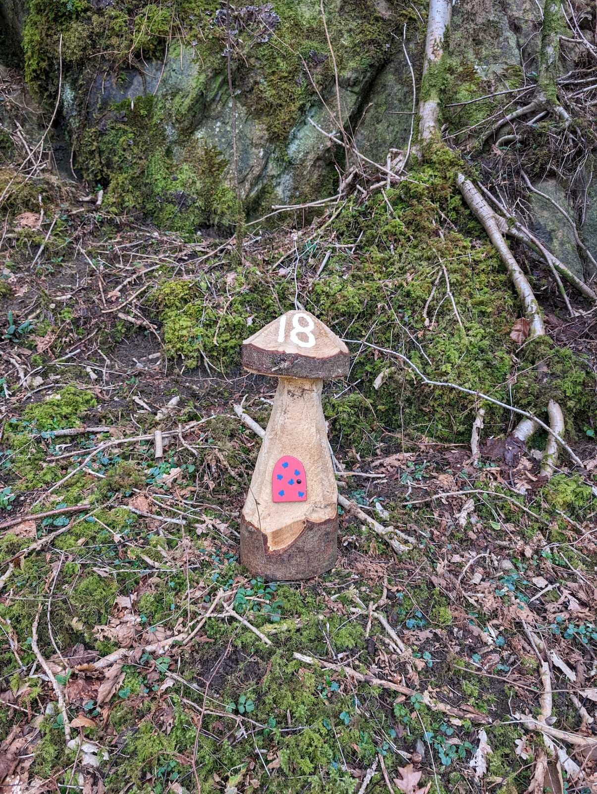
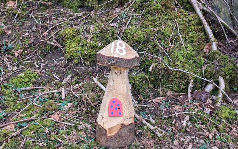
You descend just over 100 metres before the path turns sharply back on itself to the northeast, at which point the path is still fairly high above the river and quite narrow in places. The river and path begin to diverge more or less as you reach valley bottom again - fast-approaching Low Bridge End Farm which is well worth a visit for a cuppa and a generous slice of cake! There's a mushroom trail to follow for a bit of fun after this pitstop, as well as as a path from the farm gate that goes up into the woodland on the hillside which I'll check out another time.
From the tea room at the farm, you can technically head around the back of the farm and over the bridge to the road and carry by the roadside which cuts a bit of the remaining distance off, however this way you miss the woodland beyond and have roughly 1.5km of road walking/running. Walking along the road in such nice scenery is fine, just beware as it can be a bit of a race track at times with plenty of blind bends.
If you decide to continue through the woodland instead, you simply carry on until you see the gate on your right which doubles back down through the fields. On the route map you'll see I've suggested taking the bridge to the east rather than re-tracing your steps north across more fields (the ones you've already covered at the start), and from here it's around 700 metres back to the start along the road.
I do love St John's in the Vale and there is a low-level walk which I'll write up soon - along with stunning views from the tea room!