Hopegill Head via Whiteside
A nice hike in a quieter part of the Lake District in dramatic scenery.
As much as I love a solo run or walk, it's equally nice to catch up with friends and, on this walk, Phil who manages Lakeland Trails showed me a part of the Lake District I'd not really explored before.
I knew this one was going to involve some elevation and plenty of rocky bits thanks to a heads-up beforehand so wore my boots for some extra grip and ankle protection and packed the kitchen sink as we just didn't know what the weather was going to do - it was one of those days.
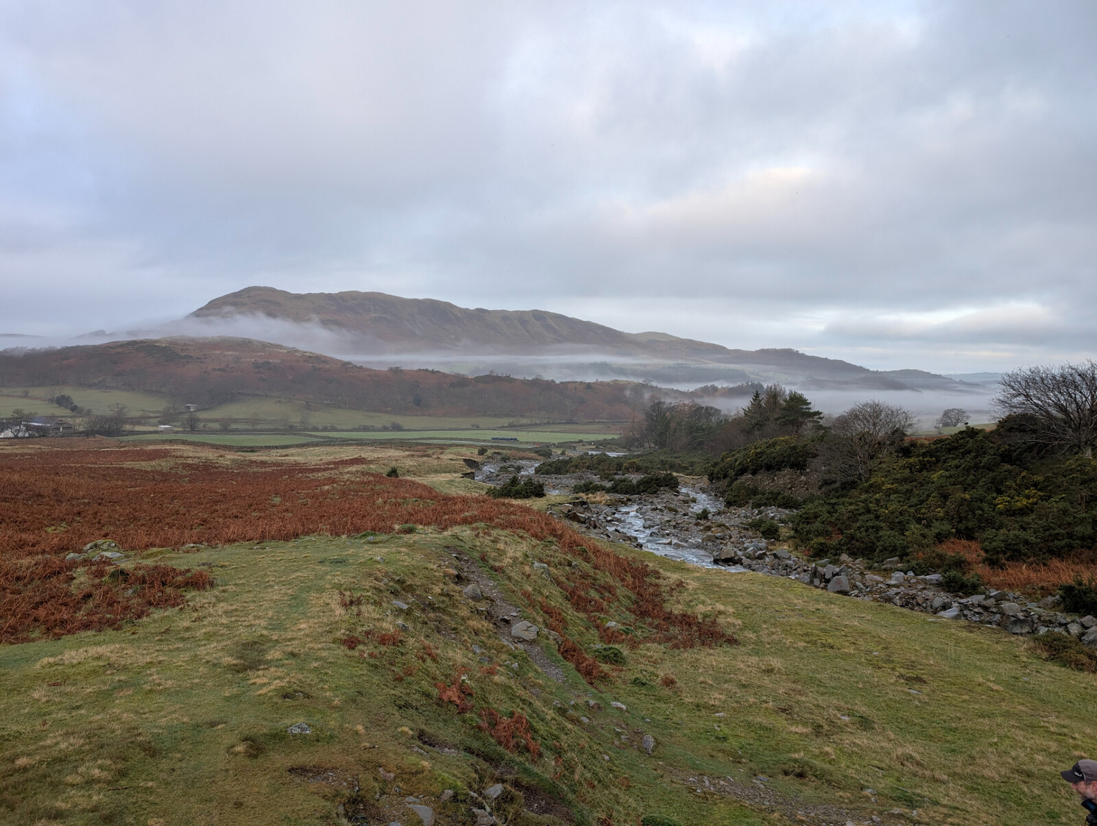
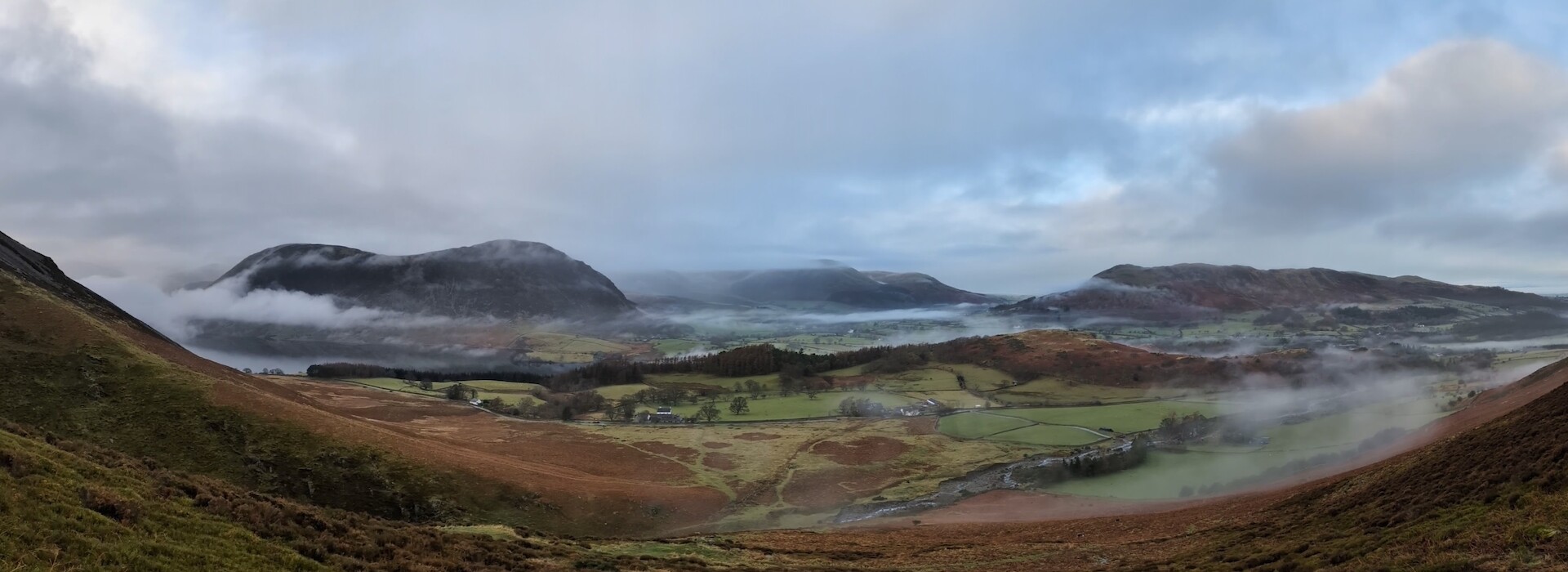
The drive over from Greystoke via Whinlatter had been through fog pretty much the whole time so I wasn't sure visibility was going to be great on the walk. When I emerged in Lorton Vale however the skies were much clearer with patches of low level cloud and some blue sky in between which made for some fantastic photos. Fortunately, this was more or less the weather we had on our walk - I don't even think it rained - although I never mind carrying more than I need.
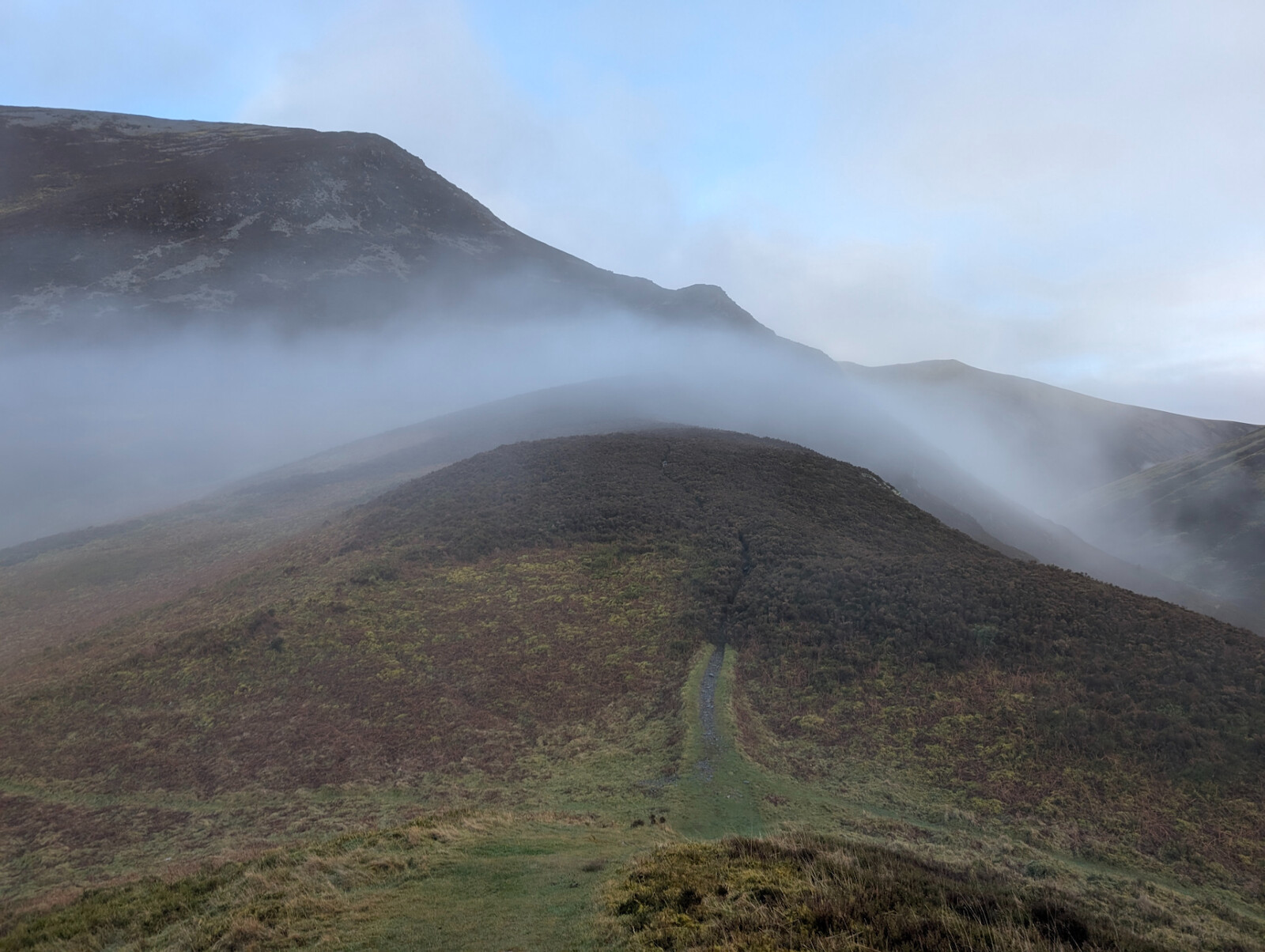
There is a small car park just off the road at Lanthwaite Green next to the farm, however there is roadside parking available too on the opposite side of the road. From here, facing the fells you can see a path heading towards the first part of the ascent which is a reasonably steep walk up to Whin Ben. I wasn't particularly fit (I'm working on it) so there were a few stops along the way here for a breather under the guise of taking in the scenery - well we did get some nice photos so there's that!
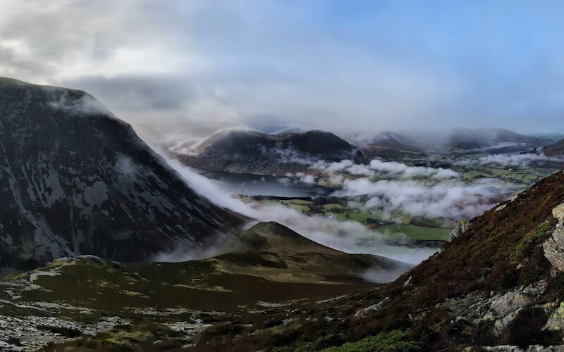
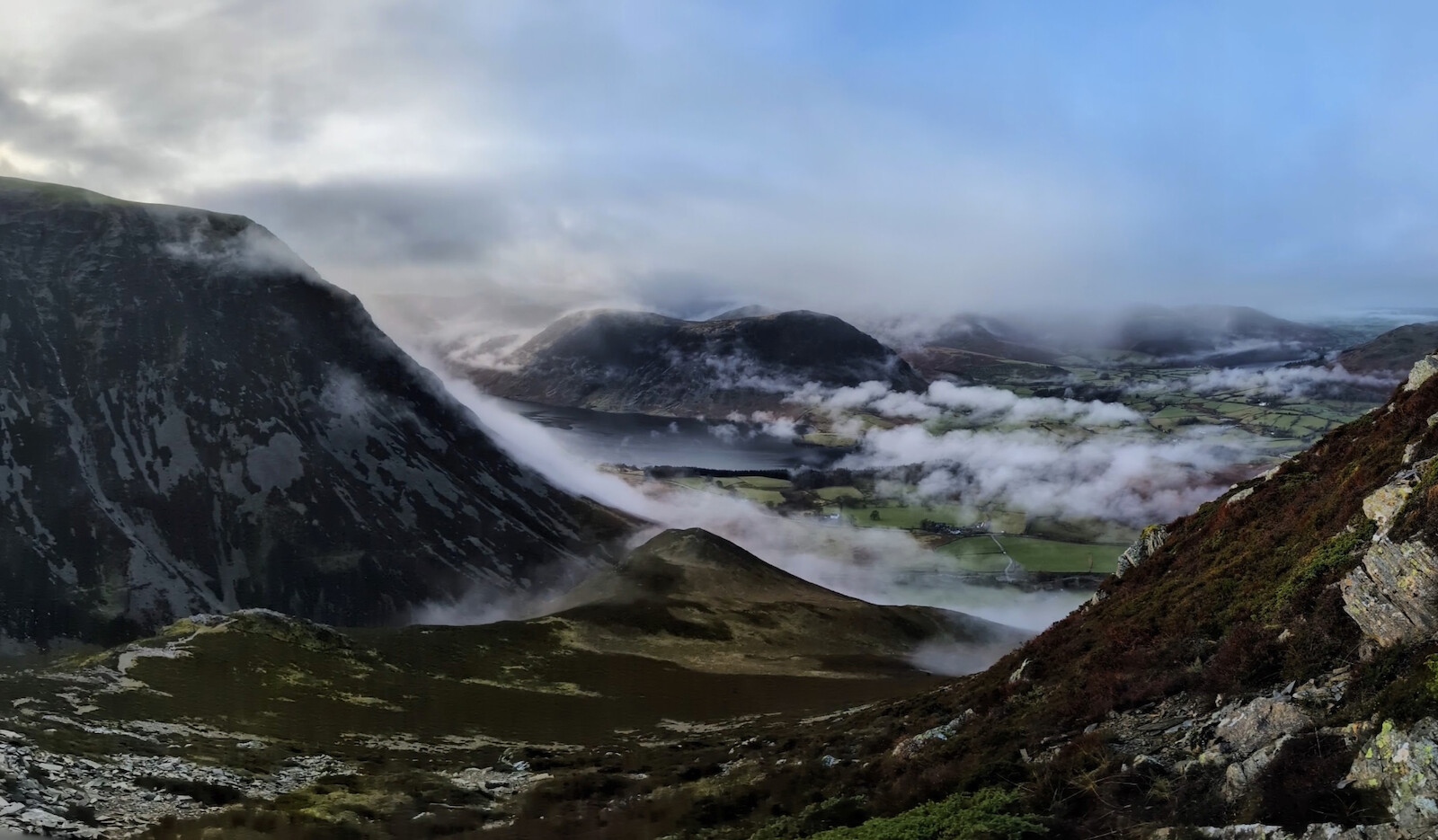
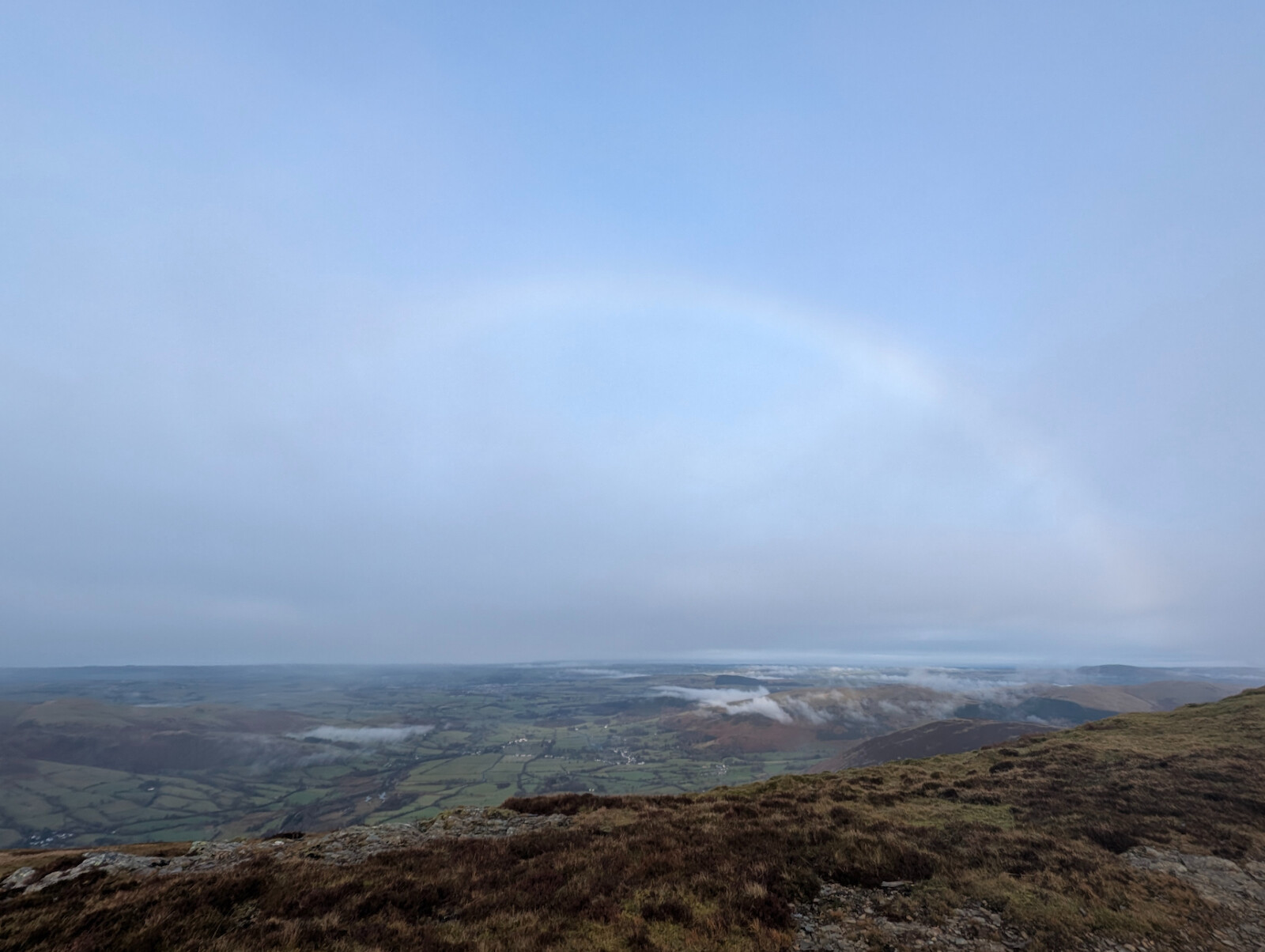
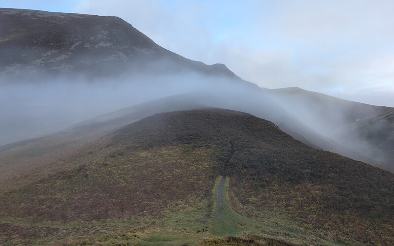
Once you reach the ridgeline you're at the top of Whiteside and rewarded with views of the surrounding fells as well as out towards the Solway Firth (and, in better weather, Scotland beyond). The walk along the ridge is easy with a reasonably wide path and less of a drop off to the left (northern) side.
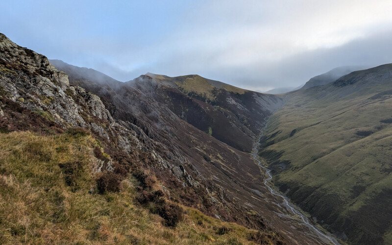
We were originally planning to walk further but as I had a self-enforced time limit so we turned right/south at Hopegill Head so that we could drop down to Coledale Hause and head back along the beck. Hopefully next time we'll go further as, once you've made the height, there are so many options as you can see on the map.
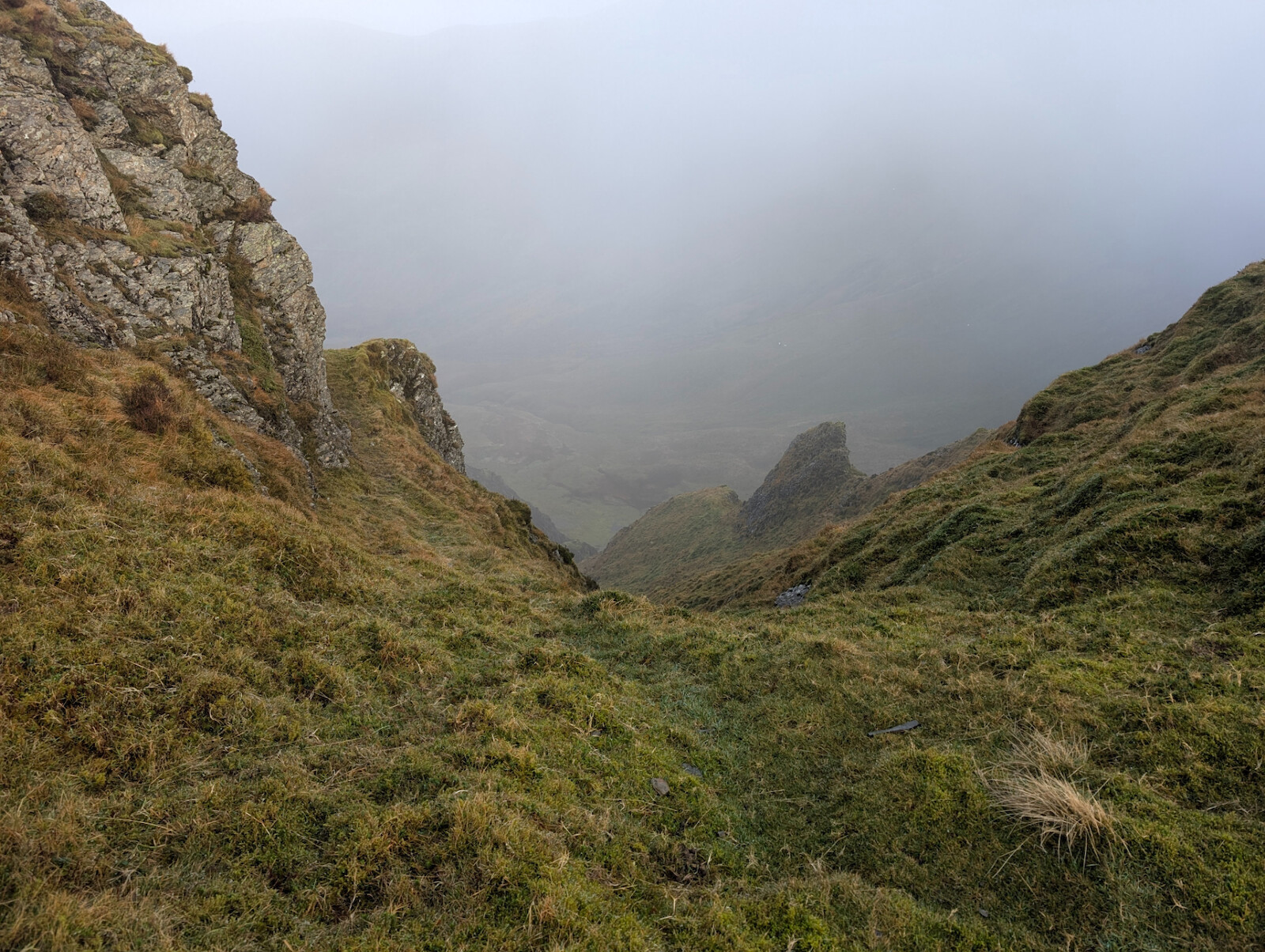
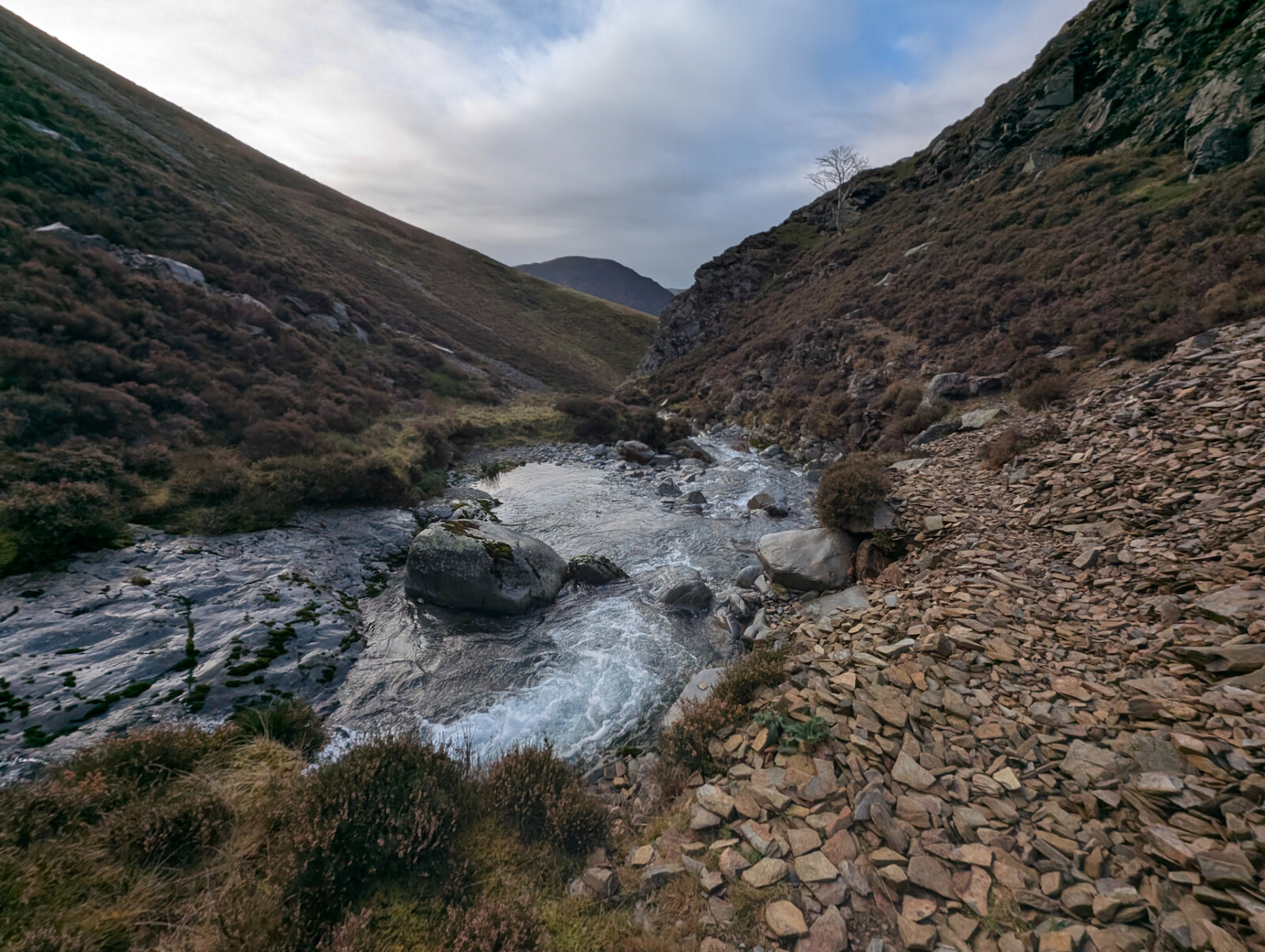
The walk along the beck was stony and quite loose in places with evidence of a minor landslide partway along and a few eroded sections you have to work around. The technical bit - and the only real one of the whole walk - is back down near the bridge where you have to traverse a narrow section in the rockface which requires three points of contact and a bit of focus - the beck is several metres below you at this point. Looking at the map it seems like there may be a track on the opposite side but the path on the route map is fine if you don't mind a little bit of a challenge.
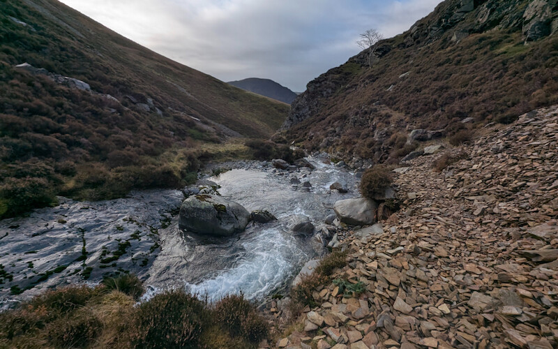
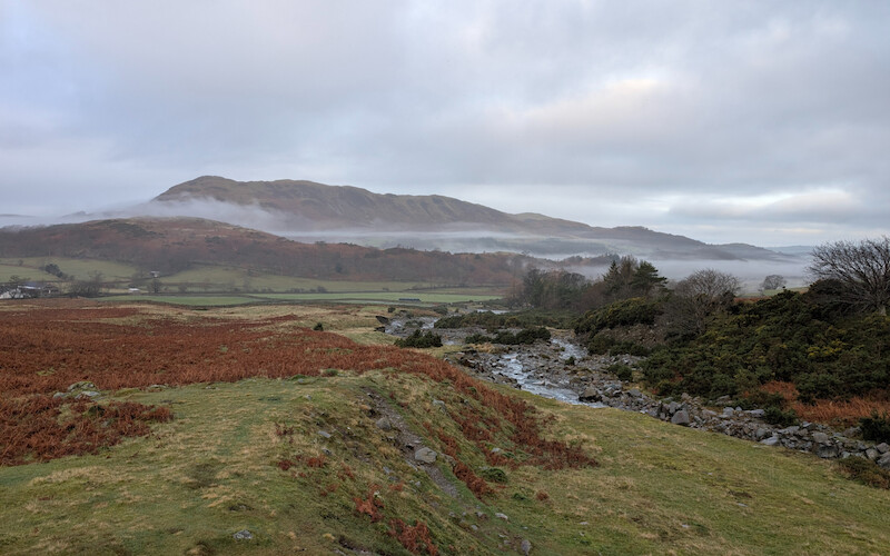
Once past this part, there's a short descent back to the bridge and then an easy walk out back to the car park.
I'm looking forwards to more higher-level walks like this in 2025!